A journey that connects the bases of three volcanoes in Patagonia, crossing lava rivers, visiting high-altitude lagoons, and ancient araucaria forests—does it exist? Yes, it does.
This is the “Three Volcanoes” route, an incredible trekking experience in the heart of Northern Patagonia.
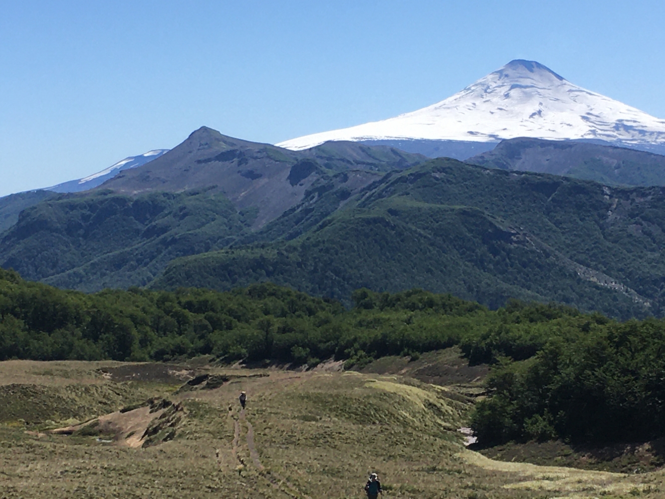
This journey traverses the entire Villarrica National Park, from the Villarrica Volcano to Puesco, almost at the border with Argentina. It initially skirts the active volcano on its western and southern flanks, offering spectacular views of its glaciers and the lakes at its base. The route offers a wide variety of landscapes, from different types of forests, high-Andean meadows, and wetlands to vast volcanic lava fields and high-altitude deserts. It also visits three lagoons, each distinct from the others.
The trek combines beautiful araucaria forests and stunning lagoons with high mountain landscapes and impressive views of the Lanín Volcano.
Higlights of the Transvolcanic Expedition
-A spectacular up-and-down journey through valleys and volcanic lava fields, high-altitude lagoons, waterfalls, and vegetation.
-Changing landscapes three times in the same day of trekking without being able to choose the best one.
-Experiencing the adventure of traversing the "land of volcanoes.
Day Before the Trek in Pucón with the guide to check equipment, review the itinerary details, and go over the safety guidelines we will use.
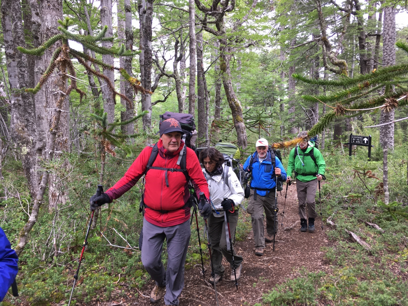
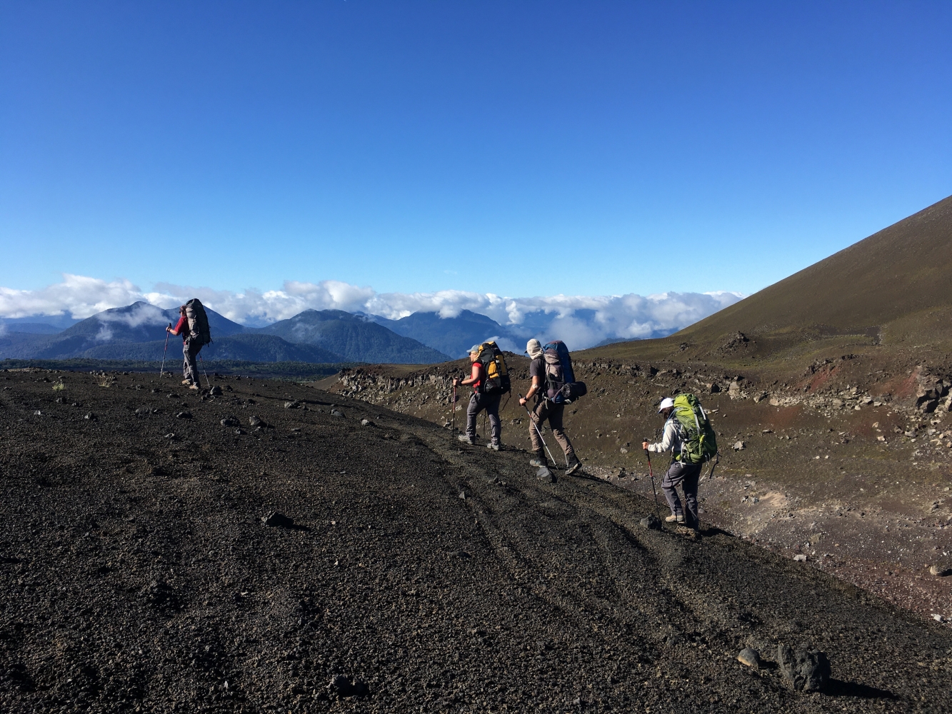
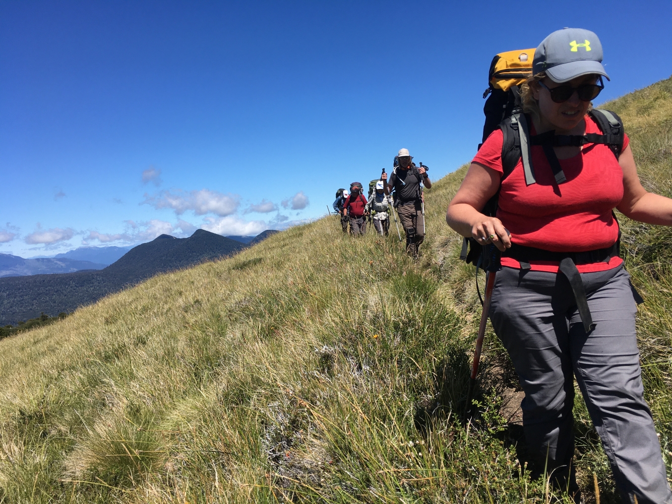
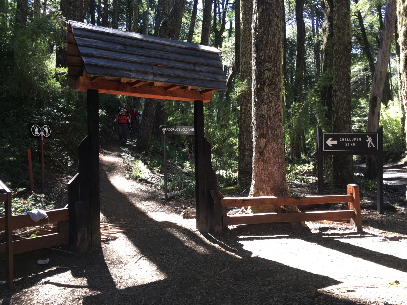
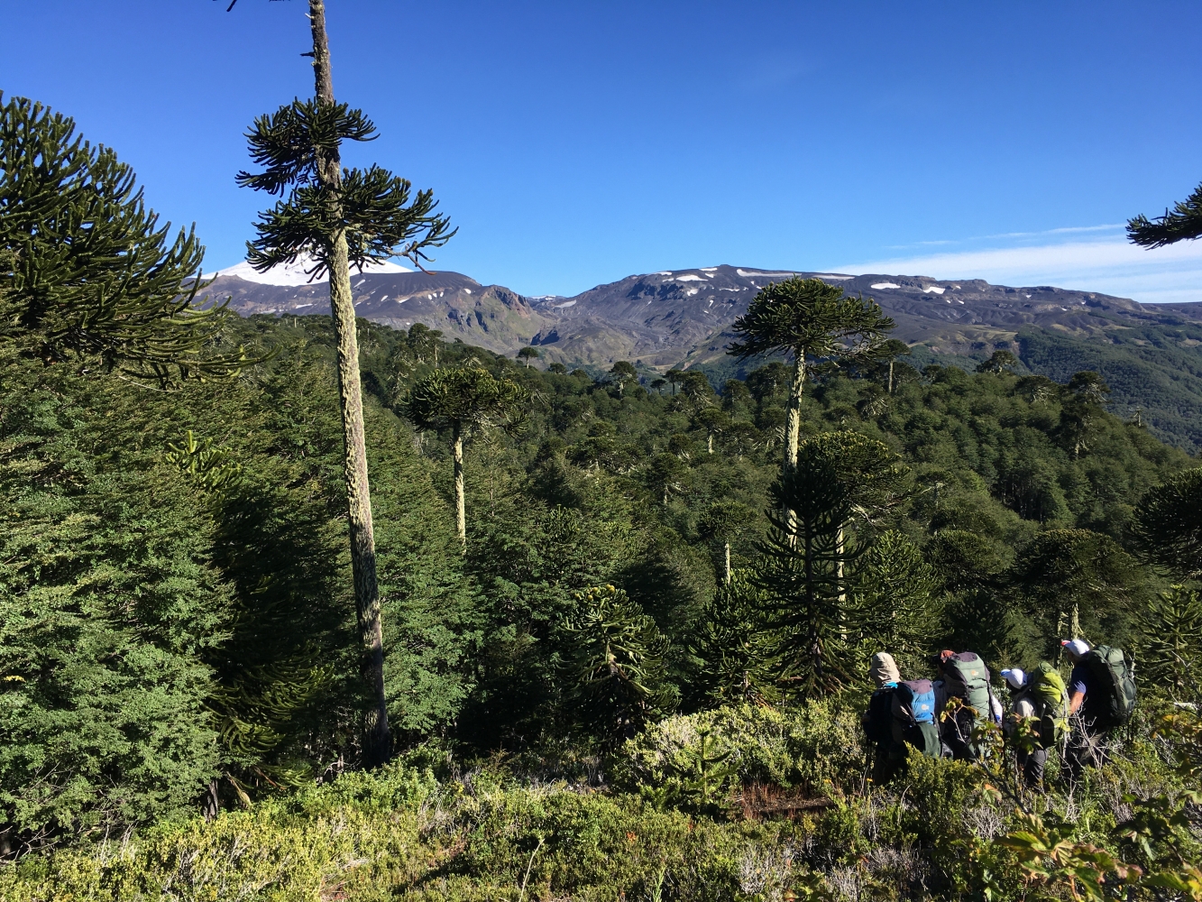
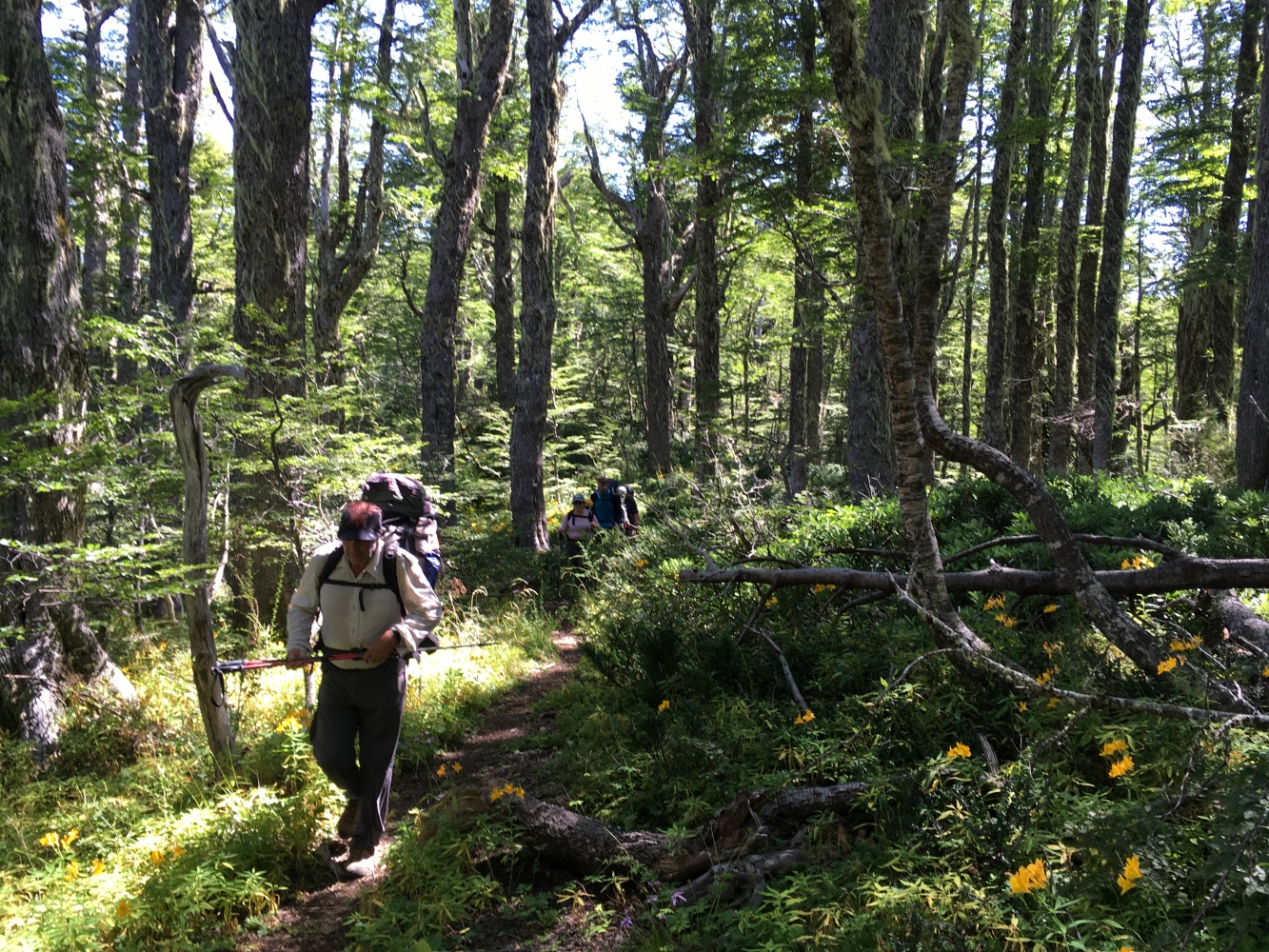
Day 1: Ski Center - Camp 1Early in the morning, we begin the journey at the base of the Villarrica ski center, located 12 km from the city of Pucón. In the first part of the day, we will traverse rocky and sandy terrain, ascending to a height of 1,500 meters before descending into a lenga forest and then into an ancient Araucaria forest.
Throughout the day, we will pass through various valleys known as "zanjones," formed by snow, mud, and water slides, and at times, lava flows caused by the volcano's different eruptions.
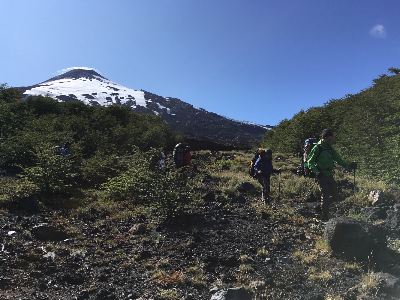
After lunch, we start a gentle ascent until we exit the tree line and traverse the entire southern face of the Villarrica volcano, where we can observe the various glaciers.
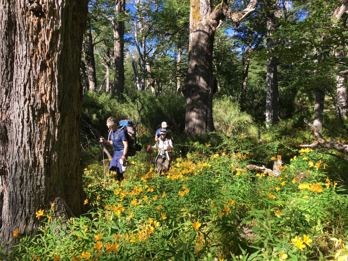
Day 2: Camp 1 - Conaf Park Ranger Station We start walking around 8:30 a.m., passing through several beautiful valleys, connecting various Araucaria oases. We'll take advantage of one of these spots to have lunch.
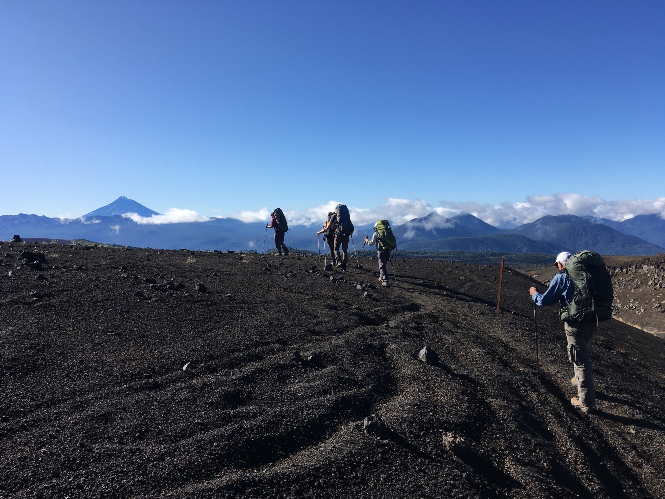
After lunch, we have another ascent and reach the highest point of the day, where we can already see the Quetrupillan Volcano, which we will reach the following day. From here, we descend through a steep forest until we reach the road that connects the Palguin area with the town of Coñaripe.
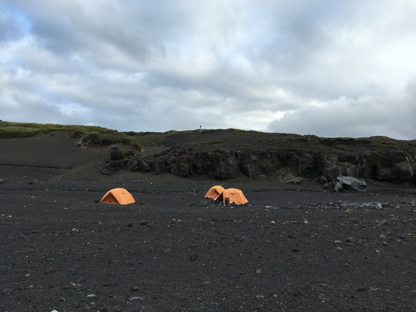
We then walk about 6 km along the road until we arrive at the Villarrica-Quetrupillan Park Ranger Station. We will set up camp next to a river in a wooded area, just a few meters from the ranger station, at an altitude of 1,000 meters.
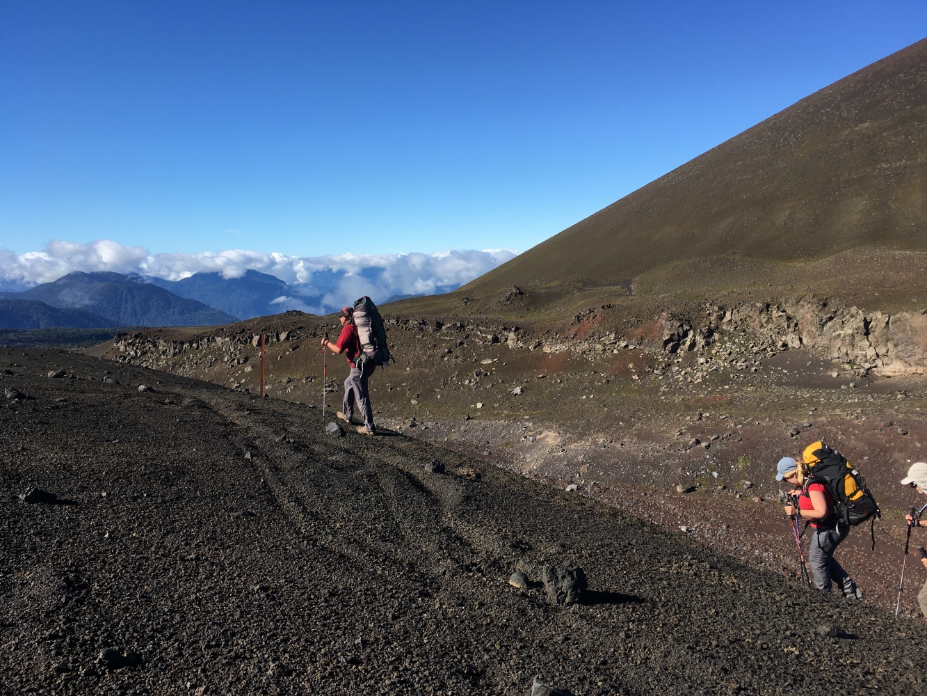
Day 3: Conaf Park Ranger Station - Camp 3This is one of the most demanding days. We start early at 7:30 a.m., trekking through a forest with an ascent of approximately 3.5 hours and an elevation gain of 700 meters.
After reaching an altitude of 1,600 meters, we exit the forest, and the climb becomes more gradual until we reach a beautiful summit with excellent views.
Continuing along the ridges and descending slowly, we re-enter the stunted lenga forest until we reach a mountain pass where we will have lunch around 2 p.m.
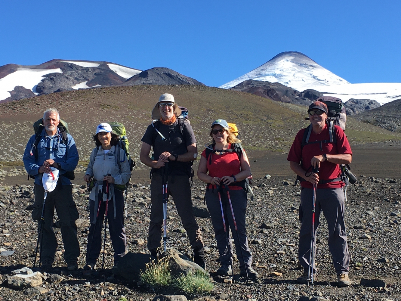
Here, we access the Quetrupillan Volcano massif, and after another 3 hours, we arrive at a series of mountain streams with waterfalls where we will set up camp for the third night.
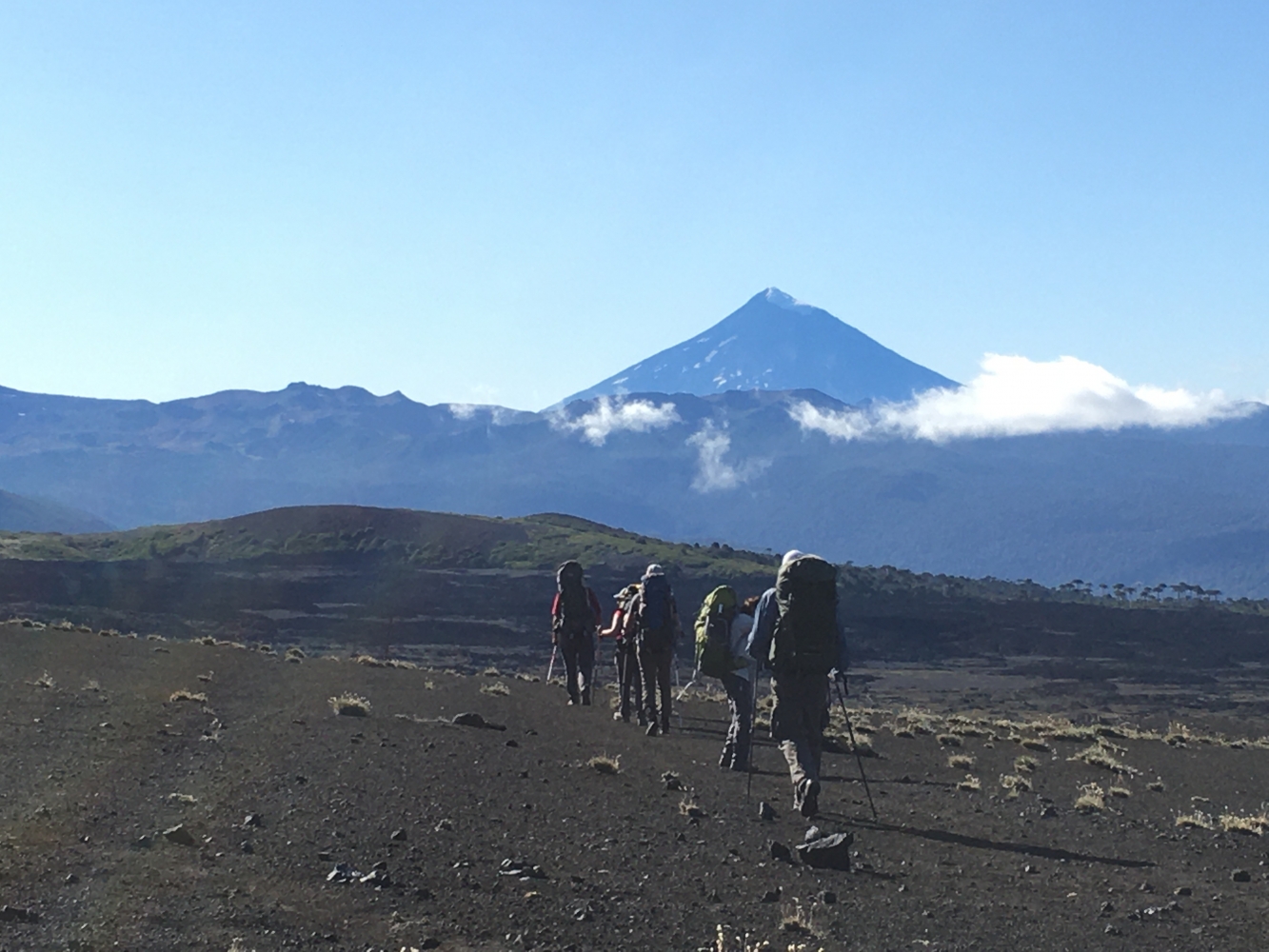
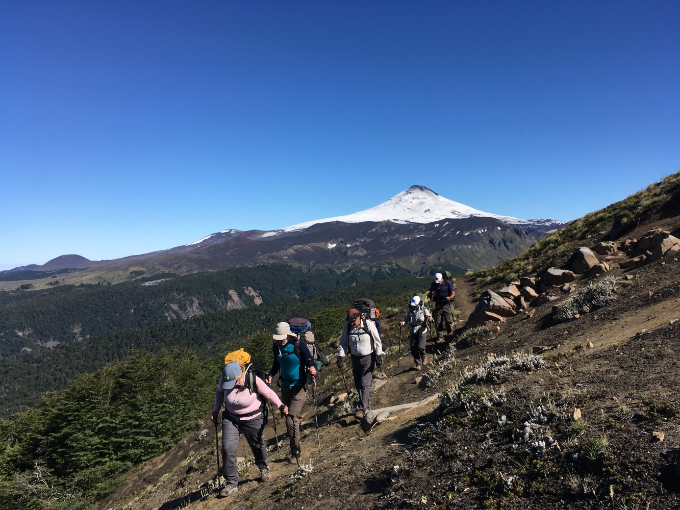
Day 4: Camp 3 - Camp 4This day will cover the greatest distance, but without significant elevation changes. In the morning, we’ll have a moderate ascent through the mountains to warm up and reach some ridges where we can see the "Laguna Azul" to our right (south) and the Lanin Volcano to our left (north).
After crossing uneven terrain with no major elevation gain, we’ll face a short climb to reach a more desert-like area and have lunch by a sedimented lagoon formed by the glacier on the southern face of the volcano, called "Laguna Blanca."
In the afternoon, we will descend through wetlands and then forest until we reach "Las Avutardas" lagoon, where we will set up the 4th camp.
Day 5: Camp 4 - International Route We’ll wake up to break down camp as usual after a good breakfast. The trail descends slowly through the forest until we reach the bottom of the valley, where we follow a vehicle track to arrive around noon at a nice spot along the international route. Here, the vehicle will pick us up with lunch, and we will then return to Argentina and arrive in San Martín de los Andes.


